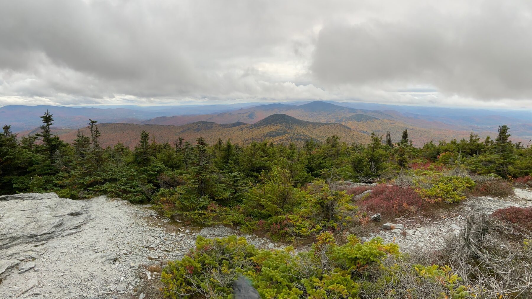
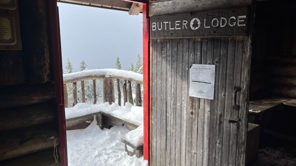
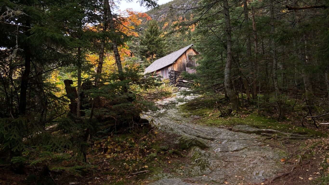
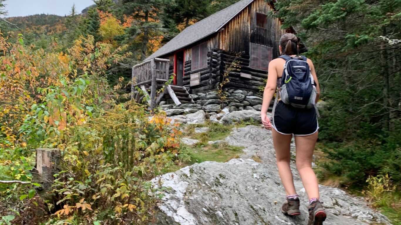
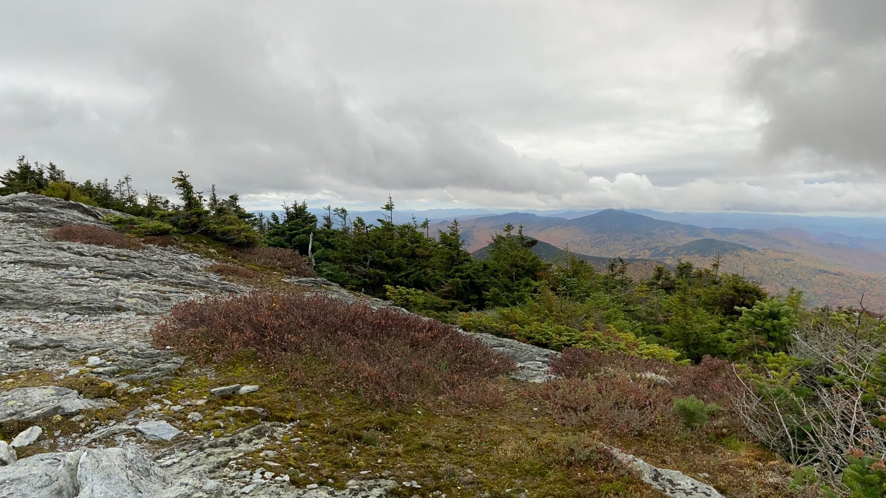
Mount Mansfield is the tallest mountain in the state of Vermont and sits at 4395 feet above sea level. The elevation gain from the hiking trail is roughly 2893 feet, making it one of the more challenging hikes to complete in Vermont, especially in the local area. The most popular route for summiting this peak is the Mount Mansfield Loop Trail which is a 7.7 mile long hike that takes the average hiker about 4-6 hours to complete depending on experience levels. Mount Mansfield can also be hiked via the Sunset Trail or the Long Trail. It is very important that you hike this mountain with the proper equipment and overall preparedness. If you are hiking Mt Mansfield in the summer you will need lots of water, some food or snacks, proper gear like hiking boots, poles if needed, and a map. The same goes for a winter summit, but you must also prepare with extra layers and microspikes and/or snowshoes. For more information on hiking safety visit the Safety page and read “Hiking Safety” to ensure you are properly equipped for the mountains!
Distance from Champlain: 26.7 miles
Address: Parking lot, Mountain Rd, Underhill, VT 05489
Ways to Get There: 40 minute drive, Champlain Outdoors group hikes
Safety: visit the “Hiking Safety” blog for more information
For more information visit these websites:

