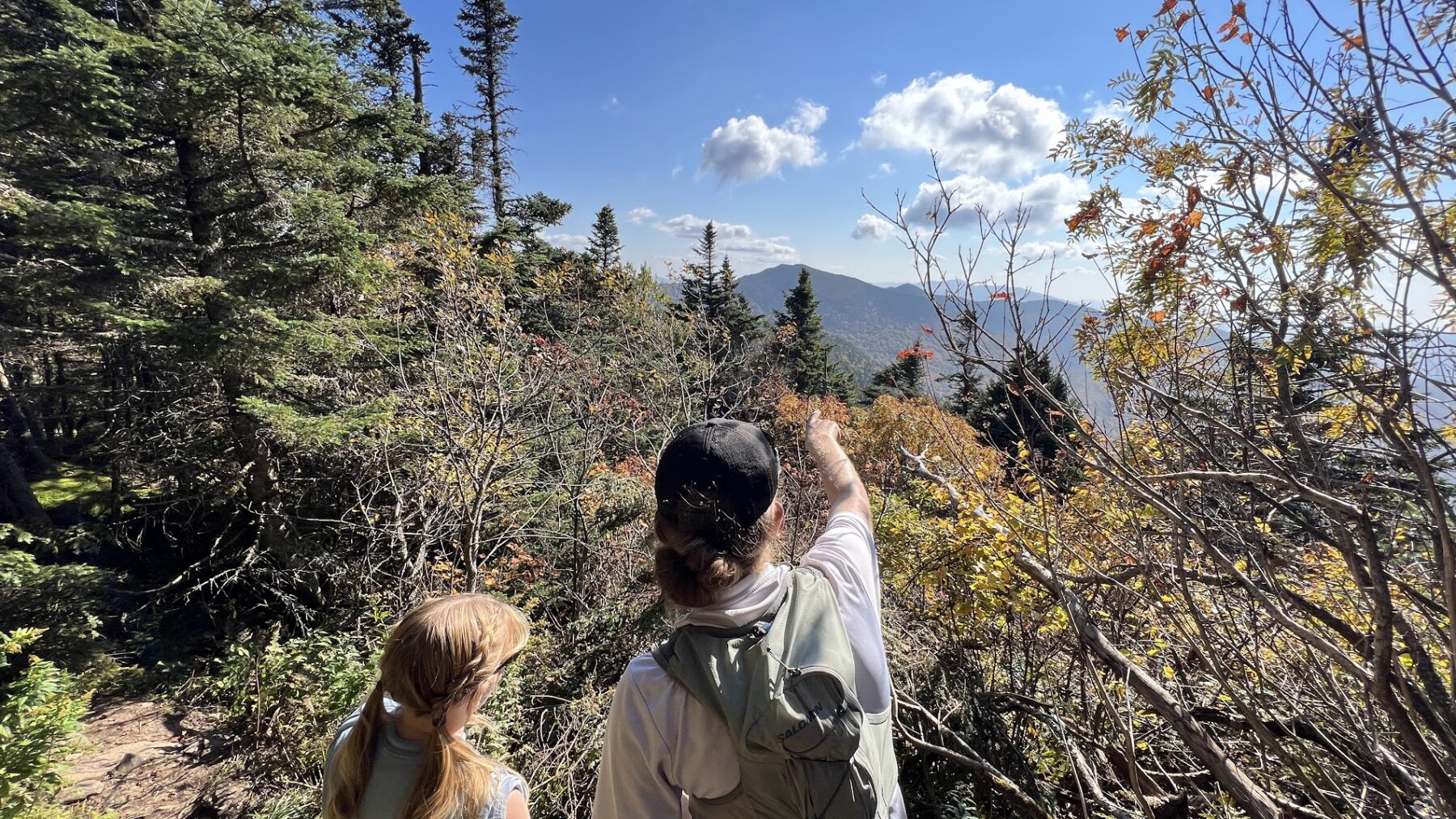
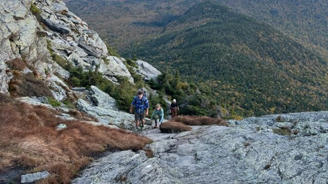
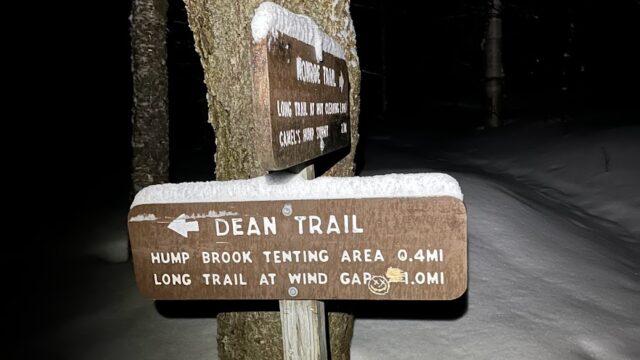
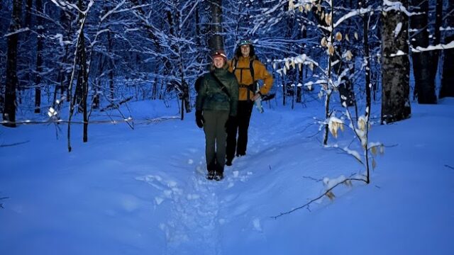
Camels Hump is the third highest peak in Vermont and sits at 4083 feet above sea level. It is famously known and identified for its curved peak, giving it the very fitting name of Camels Hump. This challenging hike is 6 miles long when done via the Camel’s Hump Trail and is an out and back hike. Depending on ability and experience it takes around 4.5 hours from start to finish. The trail head can be found on Camels Hump Road and it is recommended that you get there early, especially on weekends or in the summer months, because the parking lot is not very large and there is no roadside parking. The Camels Hump Trail begins at the Monroe Trail which ends and then becomes the Long Trail, or you can take the Dean Trail to the Long Trail at the intersection before Monroe ends and reach the summit from there. Camels Hump can also be completed via the Burrows Trail, which also begins on Camels Hump Road. This trail is 4.7 miles long, meaning it is shorter mileage to the summit but a bit steeper. The Burrows Trail also intersects with the Long Trail before the summit and that will be how you reach the top of the mountain. Since this is considered a challenging hike, it is important to have the proper equipment, gear, and preparedness to successfully and comfortably hike Camels Hump.
Distance from Champlain: 26.5 miles
Camels Hump Trail Address: 3425 Camels Hump Rd, Duxbury, VT 05676
Burrows Trail Address: 3481 Camels Hump Rd, Huntington, VT 05462
Ways to Get There: 45 minute drive, Champlain Outdoors group hikes
Safety: visit the “Hiking Safety” blog for more information
For more information visit these websites:


